|


 Your Price: $0.00 Your Price: $0.00
 Model
Number: 1253 Model
Number: 1253


|
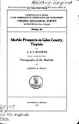
by A.A.L. Mathews, with a section on “Petrology of the Marbles” by Arthur A. Pegau. Soft-cover book 6 x 9 inches, 52 pages, 7 figures, 3 tables, 9 plates including Plate 2 – Sketch map showing distribution of marble and the major structural features in Giles County, scale 1 inch = 4.3 miles, 8.5 x 9-inch black and white map, 1934. This report describes the distribution, properties, geologic relations, and types of marble found in Giles County, as well as the economic uses, locations of quarry sites, and methods for developing the resources. The marbles occur in four distinct geologic horizons that range in age from Cambrian to Middle Devonian. The marbles are classified into five groups based on texture, composition, and color. These include moiré, tan-gray, variegated, sunset red, and jet-black. The results of petrographic and chemical analyses are provided for each type. Out-of-print.
|
|