
|
Out of Stock
Your Price: $6.00
Model
Number: 1213
|
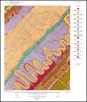
E.K. Rader, T.H. Biggs, 6 x 9-inch soft cover book, 104 pages, four plates include four folded 25 x 32.5-inch color 1:24,000-scale geologic maps, 23 figures, nine tables, 1976. This report and the accompanying maps portray and describe the stratigraphy, structure, economic geology, hydrogeology, and environmental geology of the Strasburg and Toms Brook 7.5-minute quadrangles (portions of Shenandoah and Warren counties) with cross-sections. Bedrock geologic maps of the Valley and Ridge sedimentary rocks with recent alluvium are mapped in the area. Limestone, high silica sand, clay and shale, sand and gravel and iron resources are discussed in the text. Quarries and prospects for limestone, shale, iron, and manganese are shown on the geologic map. Second set of maps group geologic formations on each quadrangle into environmental units that have similar characteristics and similar benefits and hazards with regard to land use. Several stratigraphic sections and a road log for the area are included.
|
|